Itinerary
Upon arrival, you will meet your guide and driver then drive to Thimphu, the capital of Bhutan. If your flight arrives early, your guide will take you for local sightseeing in Thimphu.
Overnight in a hotel.
Altitude: 2,300 m / 7,544 ft
Visit: Takin Preservation Center, Zilukha Nunnery, Paper Factory, Buddha Point, Wangditshe Monastery 1 hour hike (Optional), walk around the city.
Overnight in a hotel.
Altitude: 2,300 m / 7,544 ft
After breakfast, drive to Punakha via Dochu-la Pass (3,140 m / 10,301 ft).
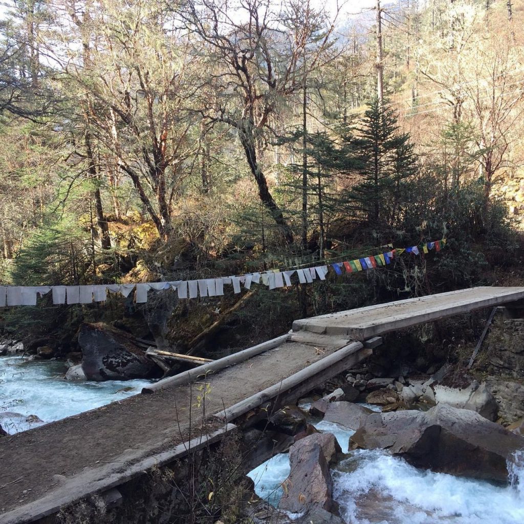
Visit: Khamsum Yulley Chorten, Punakha Dzong, Punakha Suspension Bridge.
Overnight in a hotel.
Altitude: 1,300 m / 4,265 ft
In the afternoon, embark on a brief exploration of the tranquil Paro valley.
Visit: Rimphung Dzong, Paro National Museum, Dumtshe Lhakhang, Farmer’s Market and downtown Paro.
Overnight in a hotel.
Altitude: 2,250 m / 7,381 ft
On your final day of the cultural tour in Bhutan, embark on a hike to the iconic Taktsang (Tiger’s Nest) Monastery — an essential and quintessential Bhutanese travel experience. Having explored numerous areas on foot throughout your journey, we aspire to take you beyond Taktsang.This is a comprehensive full-day hike.
Overnight in a hotel.
Altitude: 2,250 m / 7,381 ft
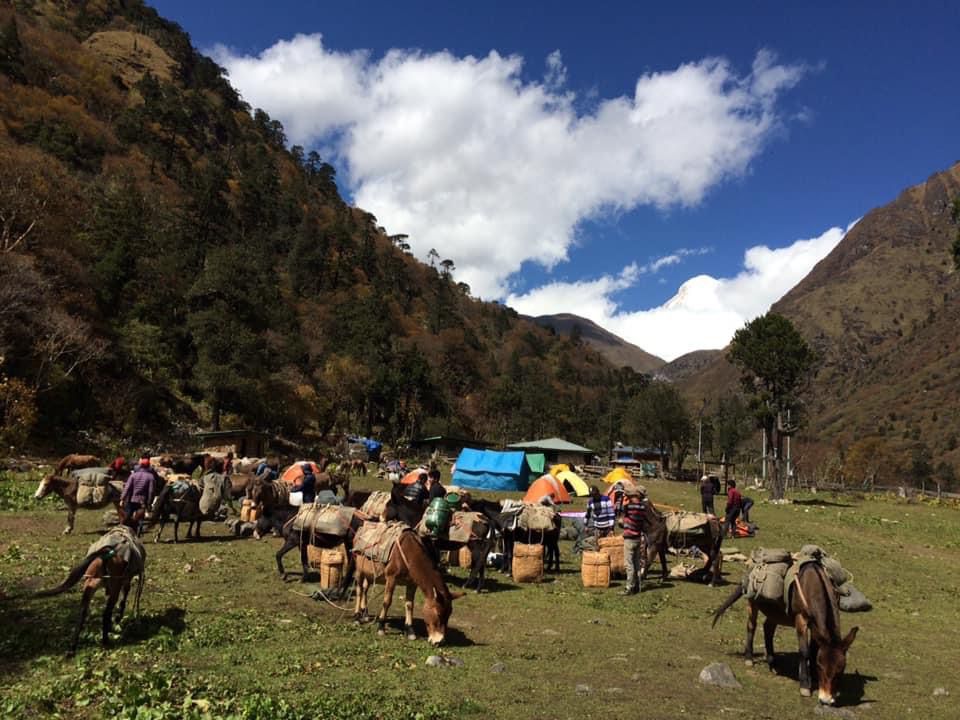
After breakfast, we drive north end of the valley, viewing Drugyel Dzong, we then continue our drive to Shana. Upon arrival in Shana, we will begin our 4 hours trek to Thongdu Zam campsite through lush green forest crisscrossing Paro river.
Drukgyel Dzong: is located north of Paro town, it means Victories Fortress and was built 1649 to commemorate the Bhutanese victory over the Tibetan-Mongol forces. It was later burnt in accidental fire in 1951.
Trek: 9 km, 4 hours, difference in heights: + 350 m / 1,148 ft
Overnite in a tent.
Altitude: 3,570 m / 11,712 ft
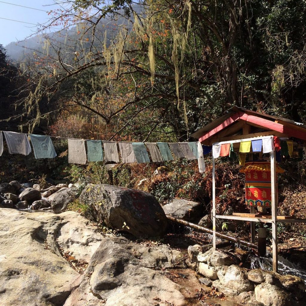
We will commence our trek ascending the valley, following the bends of the Paro river as we venture deep into Jigme Dorji Wangchuk National Park. We will then follow the Paro river upstream, deep into the National Park, which is the largest protected area in the country. The thick forests of oaks, maple, birch, larch, alders and pine make way for rhododendron, spruce, conifers and pines as we trek higher. The valley narrows as the trail leads higher, winding up and down, all the way to Thathangka campsite.
Trek: 7 km, 4 hours, difference in heights: + 400 m / 1,312 ft, – 50 m / 164 ft
Overnight in a tent.
Altitude: 3,840 m / 12,598 ft
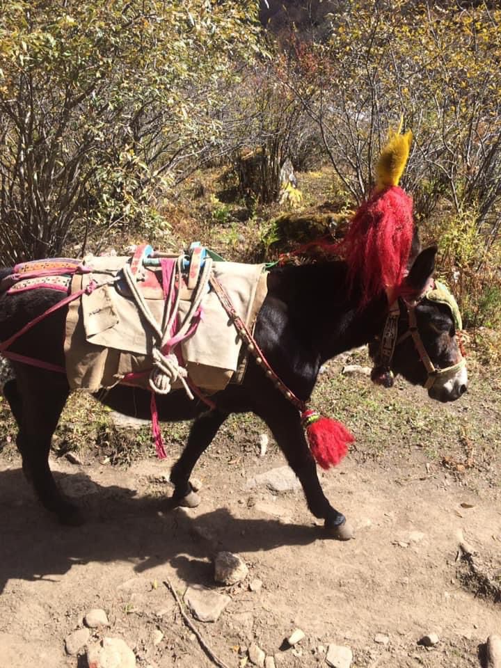
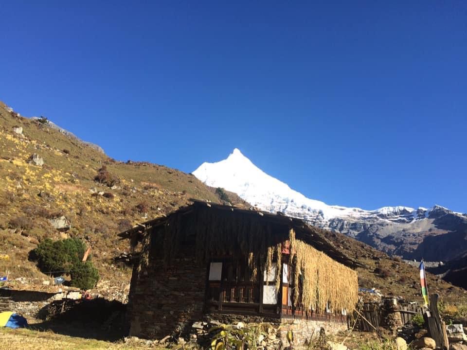
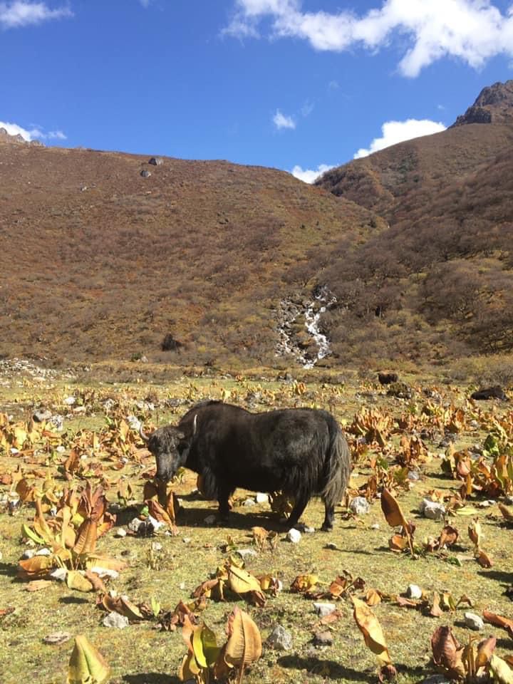
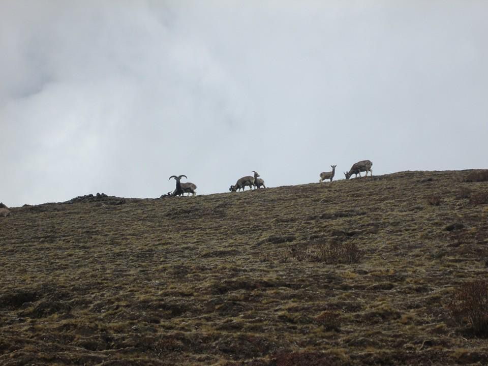
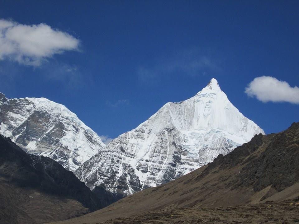
Continue following Paro river as the valley begins to widen, opening to a spectacular alpine area surrounded by high ridges and snow-capped peaks. A few yak-herding villages are based in this area. By now we are above the tree-line, with low tundra of juniper and rhododendron setosum, while blue sheep will also be spotted in the higher rocky outcrops. We will continue to trek to our campsite at Jangothang, which is right below a ruined fortress with Mt. Jhomolhari in the backdrop.
Trek: 14 km, 6 hours, difference in heights: + 500 m / 1,640 ft, – 50 m / 164 ft.
Overnight in a tent.
Altitude: 4,050 m / 13,287 ft.
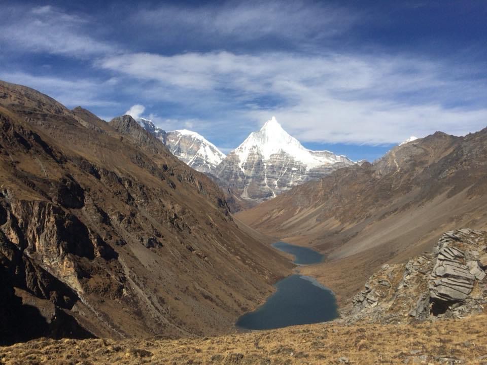
Jangothang is one of the most spectacular camping sites in the entire Himalayas. You may rest and enjoy view from your campsite or walk down to the small valley towards Jhomolhari that takes us to a dramatic viewpoint towards the glacier and imposing face of this 7,000 m / 22,965 tall mountain.
Overnight in a tent.
Altitude: 4,050 m / 13,287 ft.
The trek becomes more challenging from this point. The trail commences with a steep ascend to Tshopu lake, followed by a gradual climb up to Bhonte-la pass (4,890 m / 16,043 ft). In this vicinity, frequent sightings of blue sheep, chubby marmots, and migrating Himalayan birds are common, accompanied by breathtaking vistas of Jichu Drake and Tserim Gang peaks, along the flank of Mt. Jhomolhari. After crossing the pass, the path leads to a steep descend downhill, ultimately reaching the quaint yak-herding village of Soi Yaktsha. The day concludes with setting up camp near Dumzo.
Trek: 16 km, 7 hours, difference in heights: + 810 m / 2,657 ft, – 1,090 m / 3,576 ft.
Overnight in a tent.
Altitude: 3,800 m / 12,467 ft
Our hike starts uphill to the top of the eastern ridge of the Soi Yaktsha valley. From here, enjoy an incredible view of the amphitheater of mountains to the north and to the west. We will cross Taklung-la Pass (4,520 m / 14,829 ft), and descend to Thongbu Shong campsite in a wide grassy pastures by the valley.
Trek: 12 km, 6 hours, difference in heights: + 720 m / 2,362 ft, – 340 m / 1,115 ft.
Overnight in a tent.
Altitude: 4,180 m / 13,713 ft.
We start a steep ascend from Thongbu Shong, the remote mountain terrain, then follow the ridge towards Thombu-la Pass (4,380 m / 14,370 ft). From this vantage point, the Paro valley unfurls to the south, while mountain vistas surround us in every direction. As we initiate a steep descend, we rejoin the route leading back to Shana, where our trek initially commenced. Ascend 200 m to Thombu-la ridge at 4,380 m / 14,370 ft, then descend to Shana at 2,850 m / 9,350 ft in 6 hours trek. Upon arrival in Shana, we will meet our vehicle and driver to embark on a scenic hour-long drive along the farm road to Paro. Upon arrival in Paro, you will have the free time to walk around Paro city center. In the evening, we gather for a farewell dinner at the hotel, marking the end of your unforgettable Bhutanese expedition.
Trek: 14 km, 6 hours, difference in heights: + 200 m / 656 ft, – 1,530 m / 5,019 ft.
Overnight in a hotel.
Altitude : 2,250 m / 7,381 ft
After breakfast, transfer to Paro airport in time for your departure flight.
In case your flight is in the afternoon, we can explore more of the Paro valley.

