Itinerary
Upon arrival at Paro (Bhutan) airport, you will be greeted by your guide and will be transferred to your hotel. Depending on the arrival time, you may be able to see few places in late afternoon or evening, along with a familiarization tour of Paro town.
Overnite in a hotel.
Altitude: 2, 250 m / 7, 381 ft
After breakfast, embark on a fascinating excursion to Taktsang (Tiger’s Nest) Monastery (approximately 5-6 hours round trip walk): It is one of the most famous of Bhutan’s monasteries, perched on the side of a cliff; 900 m / 2,952 ft above the Paro valley ground. It is said that Guru Rinpoche arrived here on the back of a tigress and meditated at this monastery and hence it is called “Tiger’s Nest”. Lunch will be served in the Cafeteria Restaurant, located about halfway up the mountain. After having explored the monastery, we hike down to the valley floor and return to Paro.
Evening: Enjoy hotel facilities or explore Paro local market
Overnight: Hotel in Paro
Altitude: 2,250m / 72,998 ft
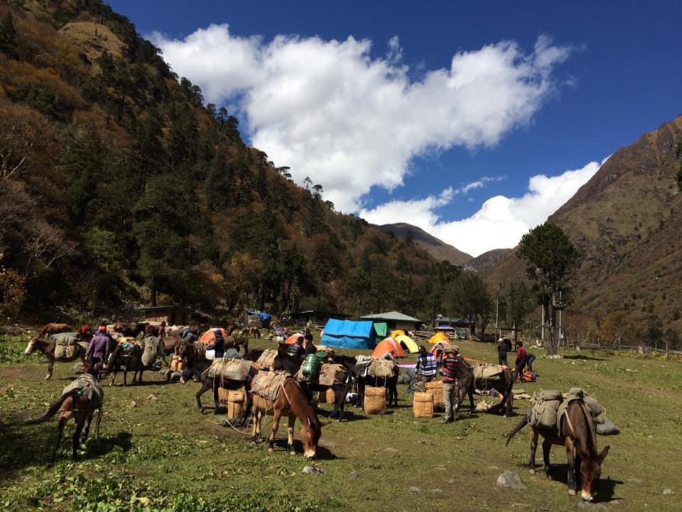
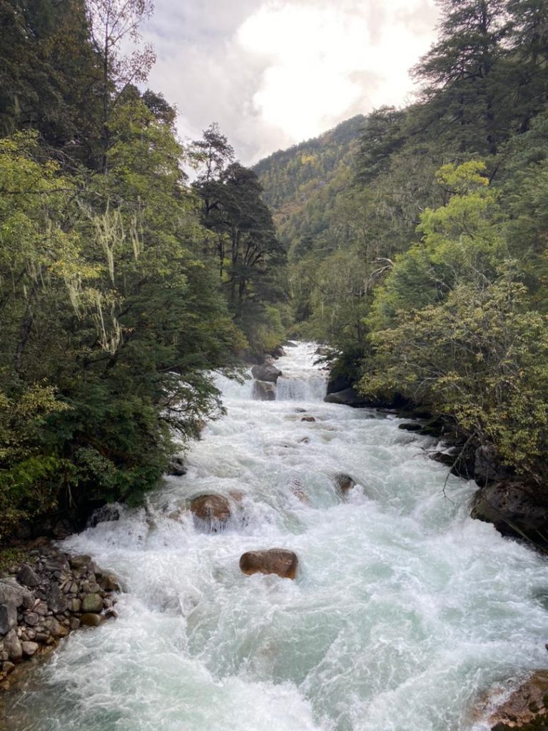
After breakfast, we drive north end of the valley, viewing Drugyel Dzong, we then continue our drive to Shana. Upon arrival in Shana, we will begin our 4 hours trek to Thongdu Zam campsite through lush green forest crisscrossing Paro river.
Drukgyel Dzong: is located north of Paro town, it means Victories Fortress and was built 1649 to commemorate the Bhutanese victory over the Tibetan-Mongol forces. It was later burnt in accidental fire in 1951.
Trek: 9 km, 4 hours, difference in heights: + 350 m / 1,148 ft
Overnite in a tent.
Altitude: 3,570 m / 11,712 ft
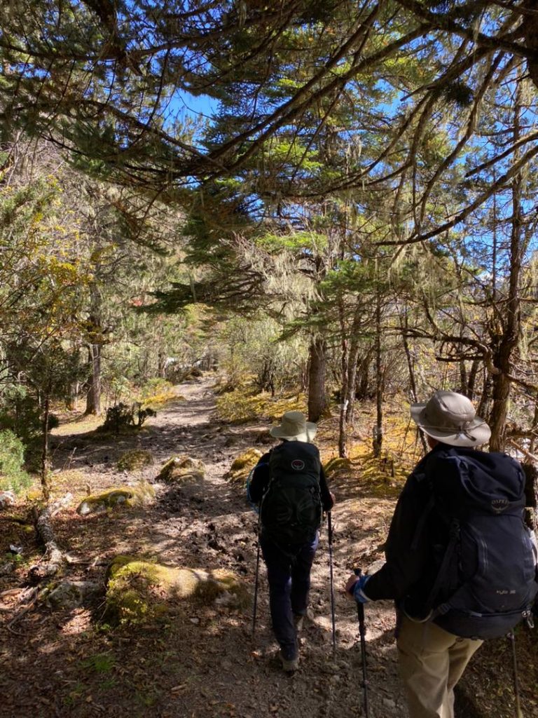
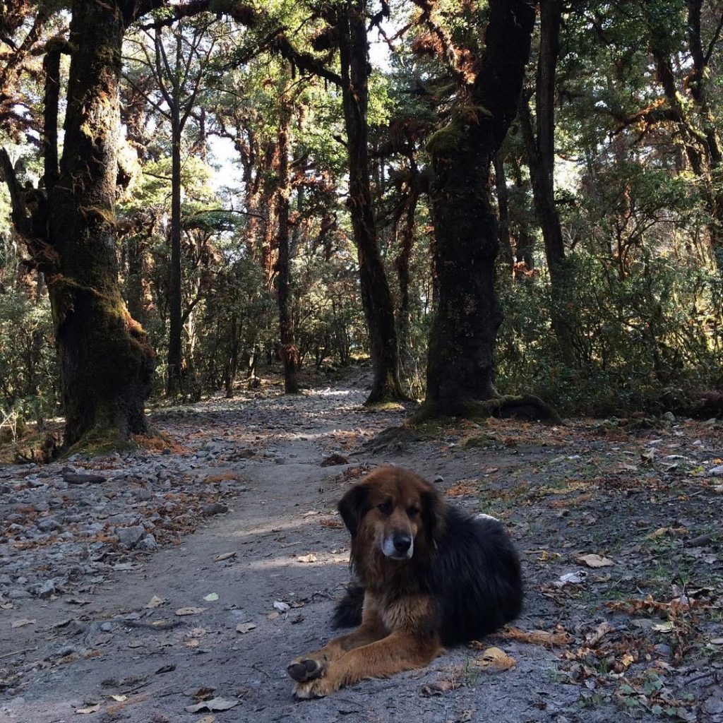
We will commence our trek ascending the valley, following the bends of the Paro river as we venture deep into Jigme Dorji Wangchuk National Park. We will then follow the Paro river upstream, deep into the National Park, which is the largest protected area in the country. The thick forests of oaks, maple, birch, larch, alders and pine make way for rhododendron, spruce, conifers and pines as we trek higher. The valley narrows as the trail leads higher, winding up and down, all the way to Thathangka campsite.
Trek: 7 km, 4 hours, difference in heights: + 400 m / 1,312 ft, – 50 m / 164 ft
Overnight in a tent.
Altitude: 3,840 m / 12,598 ft
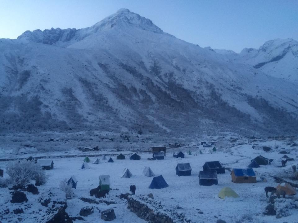
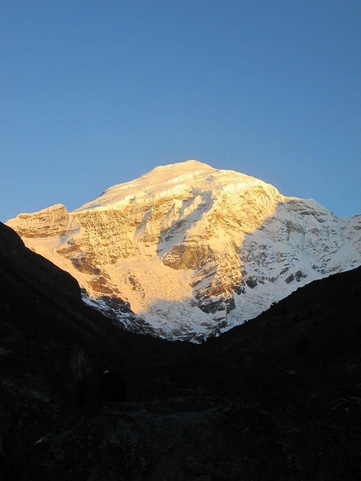
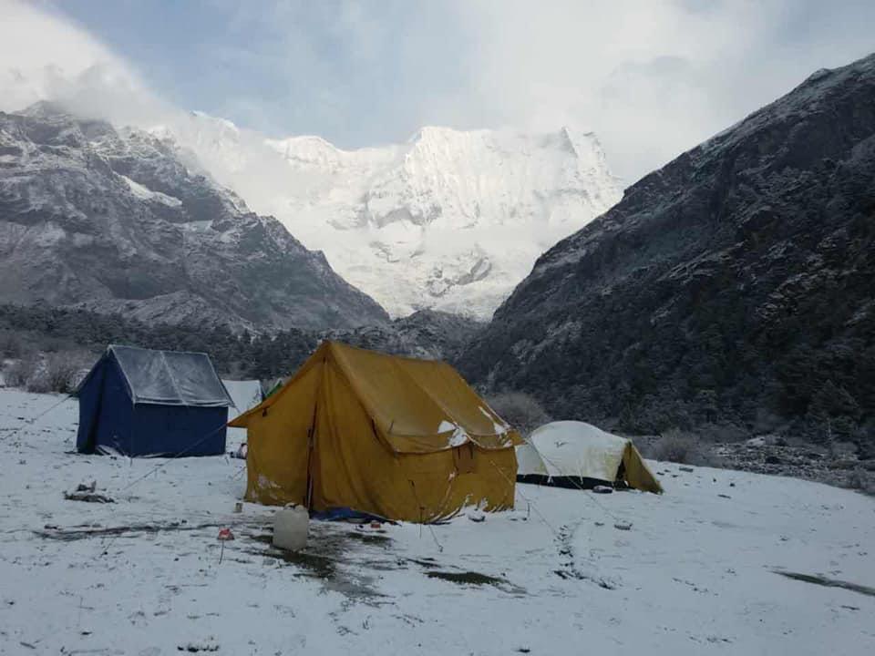
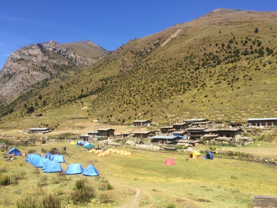
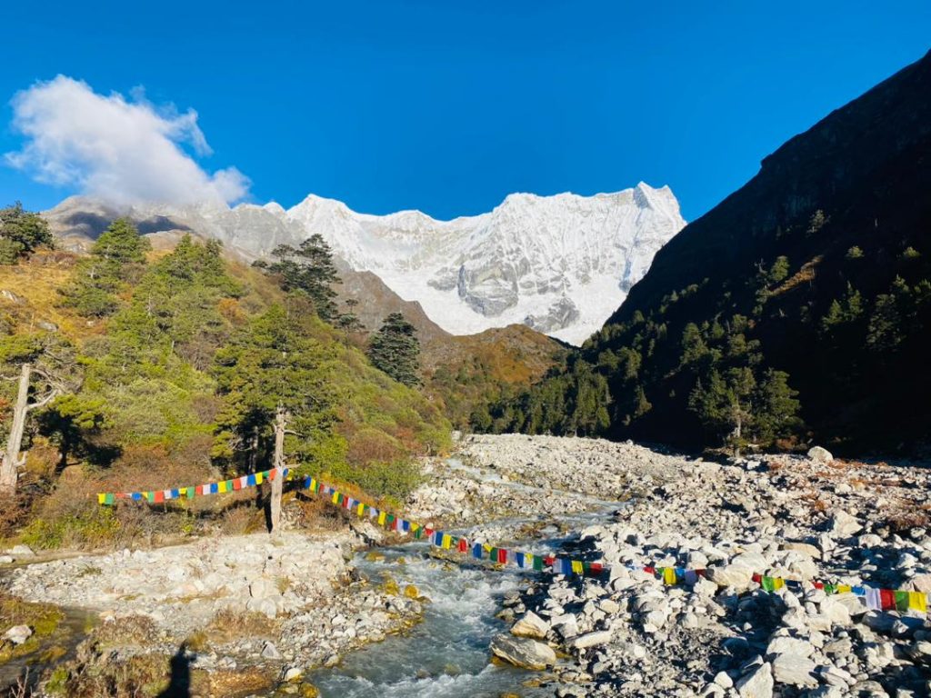
Continue following Paro river as the valley begins to widen, opening to a spectacular alpine area surrounded by high ridges and snow-capped peaks. A few yak-herding villages are based in this area. By now we are above the tree-line, with low tundra of juniper and rhododendron setosum, while blue sheep will also be spotted in the higher rocky outcrops. We will continue to trek to our campsite at Jangothang, which is right below a ruined fortress with Mt. Jhomolhari in the backdrop.
Trek: 14 km, 6 hours, difference in heights: + 500 m / 1,640 ft, – 50 m / 164 ft.
Overnight in a tent.
Altitude: 4,050 m / 13,287 ft.
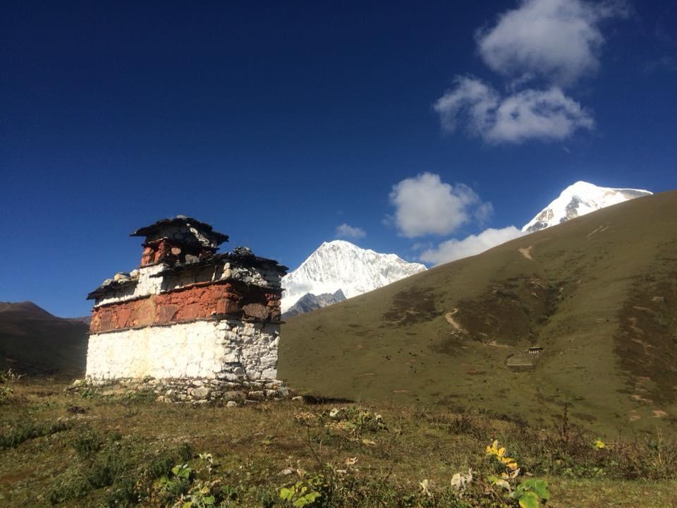
Jangothang is one of the most spectacular camping sites in the entire Himalayas. You may rest and enjoy view from your campsite of Mt. Jhomolhari and Mt. Jichu Drake (7,000 m / 22,965 ft). Alternatively you can hike for about 2 hours to visit the nearby lake.
Overnight in a tent.
Altitude: 4,050 m / 13,287 ft.
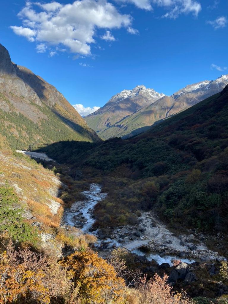
By now, you should be well acclimatized, but if you feel any AMS (Altitude Mountain Sickness), it is best point to return to Paro instead of continuing on. We will then climb steeply up with the views of Jichu Drake, Jhomolhari, Tsherim Gang and all the adjoining peaks into a glacial valley with many moraines, above the tree lines. We may be able to spot blue sheep on the hillsides and see mountain marmots. We will then cross Nyile-la Pass (4,870 m / 15,977 ft) then steep descend to camp beside the stream near Lingshi.
Trek: 14 km, 7 hours, difference in heights: + 840 m / 2,755 ft, – 890 m / 2,919 ft.
Overnight in a tent.
Altitude: 4,010 m / 13,156 ft
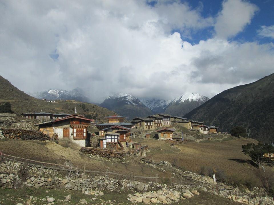
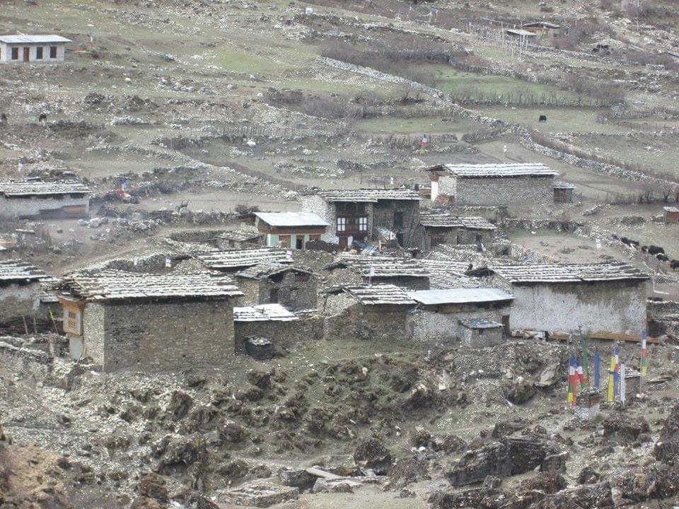
One of the shortest trekking days, but a fascinating one as a delightful path contours the hillside, passing numerous farms with good views across the valley of the mountain peaks. Pass through Lingshi school and village, then with beautifully designed stone village houses in Goyul. Leaving Goyul, the path continues along the hillside to arrive at a spectacular fairy-tale-like setting of Chebisa village.
Trek: 13 km, 6 hours, difference in heights: + 280 m / 918 ft, – 400 m / 1,312 ft.
Overnight in a tent.
Altitude: 3,880 m / 12,729 ft
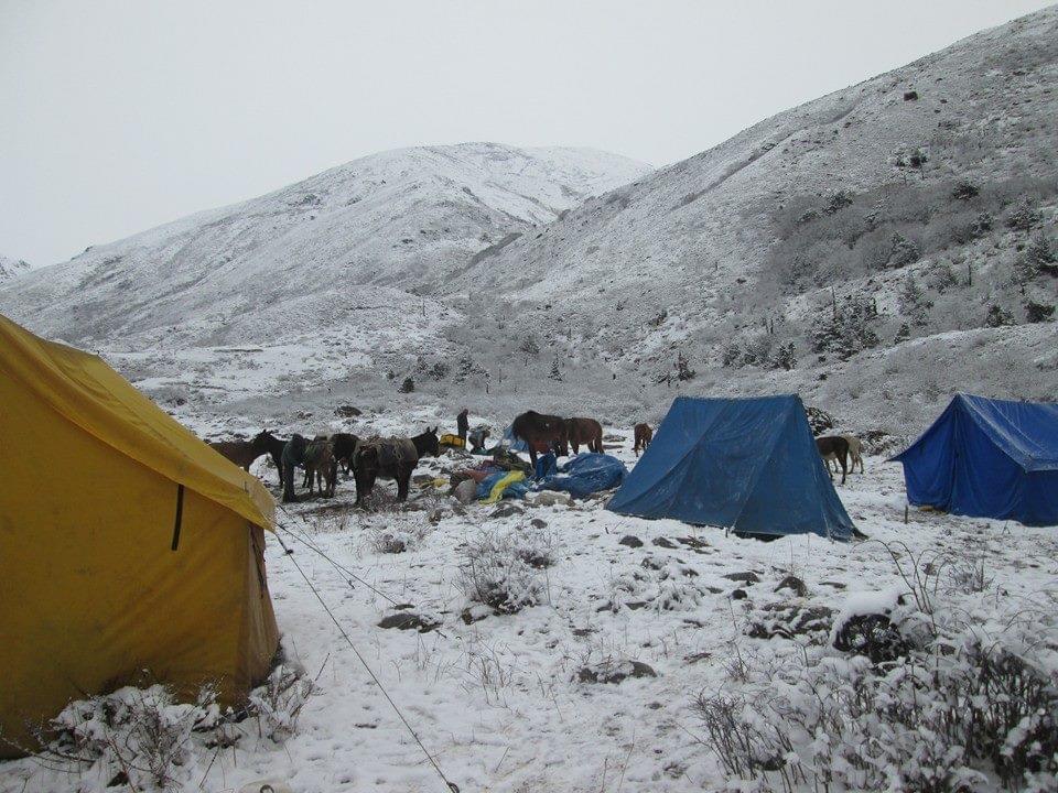
From the Chebisa village, we will begin climbing uphill on a steep slope. Several large herds of blue sheep will be sighted in this area. Himalayan vultures, griffons and eagles, soaring overhead. We will spot few yak herders and their campsites in this area. The trail begins to lead to Gobu-la Pass at 4,440 m / 14,566 ft (a ridge crossing). After Gobu-la Pass, make few ascends and descends, crossing ridges and side valleys, through rhododendron forests, crossing stream, then again over ridges, through cedar forests, fir and birch trees. The Shomuthang campsite is on a bench above Shagipasa river.
Trek: 17 km, 7 hours, difference in heights: + 890 m / 2,919 ft, – 540 m / 1,771 ft.
Overnite in a tent.
Altitude: 4,220 m / 13,845 ft
We now hike a steep slope for about 2 hours to Jhari-la Pass (4,750 m / 15,583 ft) and we will see the breathtaking view of Mt. Gangchenta or ‘Great Tiger Mountain’ (6,840 m / 22,440 ft), Kangbum (6,526m / 21,410 ft), and Tsherim Gang. The tip of Mt. Jhomolhari can be seen from this pass. Descending to Tsharijathang valley and you may see herds of Takins, an unusual animal a cross bred between goat and bull. The valley has been declared as a special Takin Sanctuary. En-route we will be able to cross a river and camp in a scenic position just half hour’s walk up the hillside at Robluthang campsite.
Trek: 18 km, 7 hours, difference in heights: + 700 m / 2,296 ft, 760 m / 2,493 ft.
Overnite in a tent.
Altitude: 4,160 m / 13,648 ft
Today we will trek for about 5 hours to Shinge-la Pass (5,005 m / 16,420 ft), the highest point on this trek. Along the slopes, you will see herds of blue sheep, the trek will become tougher, because of high altitude. At Shinge-la Pass, we will enjoy the stunning snow covered Gangchenta, which fills the northern horizon. Descending from the pass, the trail follows moraine into another glacial valley. We will cross Kango chu stream and follow the valley to the north, through cedar forests interspersed with small meadows to a beautiful campsite by the river at Limithang with Mt. Gangchenta (Tiger Mountain).
Trek: 19 km, 8 hours, difference in heights: + 850 m / 2,788 ft, – 870 m / 2,854 ft.
Overnite in a tent.
Altitude: 4,140 m /13,582 ft
We will continue to trek and arrive in a large village of Laya with the backdrop of Mt. Ganchenta and Mt. Masangang dominating the skyline. Locals are immediate to welcome and greet the visitors and you have time this afternoon to chat and wander around.
Trek: 14 km, 6 hours, difference in heights: + 70 m / 229 ft, – 340 m / 1,115 ft.
Overnite in a tent.
Altitude: 3,800 m / 12,467 ft
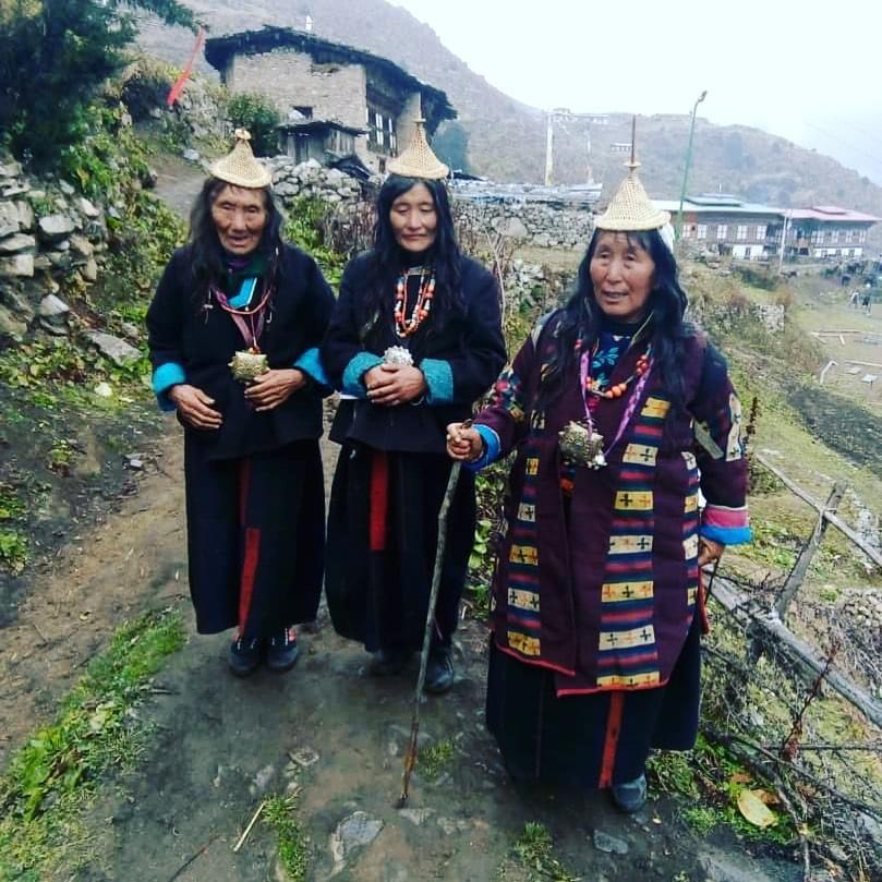
The extra day in Laya is to rest, meet the locals, and explore and to explore one of largest isolated community of Bhutan with roughly about 2,000 people, who speak their own dialect and wear distinct dress. The women keep their hair long, and wear conical bamboo hats with spike at the top (traditionally Bhutanese woman have close-cropped hair). They wear black yak wool jacket and skirt with some colored strip. Their jewellery include array of silver teaspoons tied at the back of the hair. The village is spread out over the hillside, close to the China Tibetan Autonomous Region – Bhutan border at an altitude of 3,800 m / 12,467 ft, and it is one of the highest villages in Bhutan.
Overnite in a tent.
Altitude: 3,800 m / 12,467 ft
Today is one of the longest trekking days and so we must start early; as we are trying to cover more than usual one day trek. The new farm road has reached to Koiena where our trek ends. Here we will meet our vehicle and will drive to Gasa Tsachu (Hot Spring), where we will camp for the night. Gasa Hot Spring is well known for its medicinal properties. Now there are several new pools constructed after previously damaged by flood.
Trek: 19 km, 7 hours, difference in heights: + 60 m / 196 ft, – 1,030 m / 3,379 ft.
Overnite in a tent.
Altitude: 2,770 m / 9,087 ft
Drive along the winding road, downhill through rich subtropical jungles and then to Punakha, which will take about 3 hours. Once in Punakha, former winter capital of Bhutan, visit the 17th century Punakha Dzong located on the confluence of Pho and Mo Chu rivers. If time allows and if you are interested, we can also take a short hike to visit Khamsum Yuelley temple, located on a ridge, overlooking the paddies and river below.
Overnight in a hotel.
Altitude: 1,300 m / 4,265 ft
Before heading out of the valley, visit some sights in Punakha valley. Then drive over the magnificent Dochu-la Pass, with spectacular panoramic mountain views, to capital Thimphu. In the afternoon, we will take a short tour of Thimphu.
Overnight in a hotel.
Altitude: 2,300 m / 7,381 ft
We have a full day tour of capital of Bhutan, which has many interesting monuments and sights to see. Towards the late afternoon, we will drive to Paro.
Overnight in a hotel.
Altitude: 2,250 m / 7,381 ft
After breakfast, transfer to Paro airport in time for your departure flight.
In case your flight is in the afternoon, we can explore more of the Paro valley.

